Map Gallery
Animation: NSF Arctic Research Activities 2004-2020
This animation shows the locations of scientific research projects funded specifically by the U.S. National Science Foundation (NSF), as well as ship tracks for NSF-funded scientific cruises aboard research vessels. This animation will be updated periodically.
Click the animation to view it on this page, or right click to download it as .MOV, .PPTX, or .PDF.
Featured Maps
-
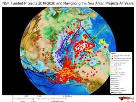
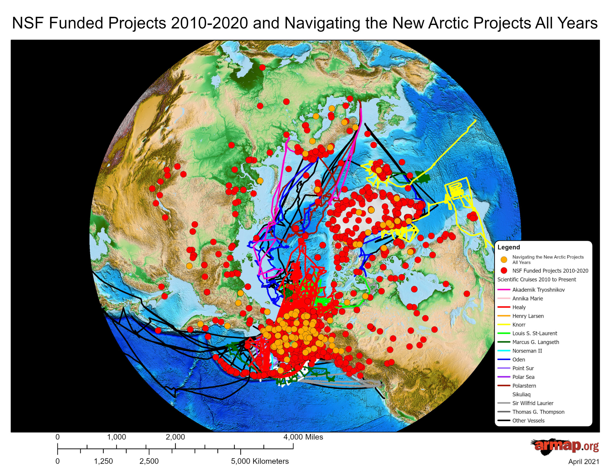
NSF-Funded Projects for 2010-2020 and Navigating the New Arctic Projects All Years
Circumarctic view with a topographic basemap.
-
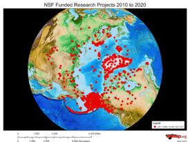
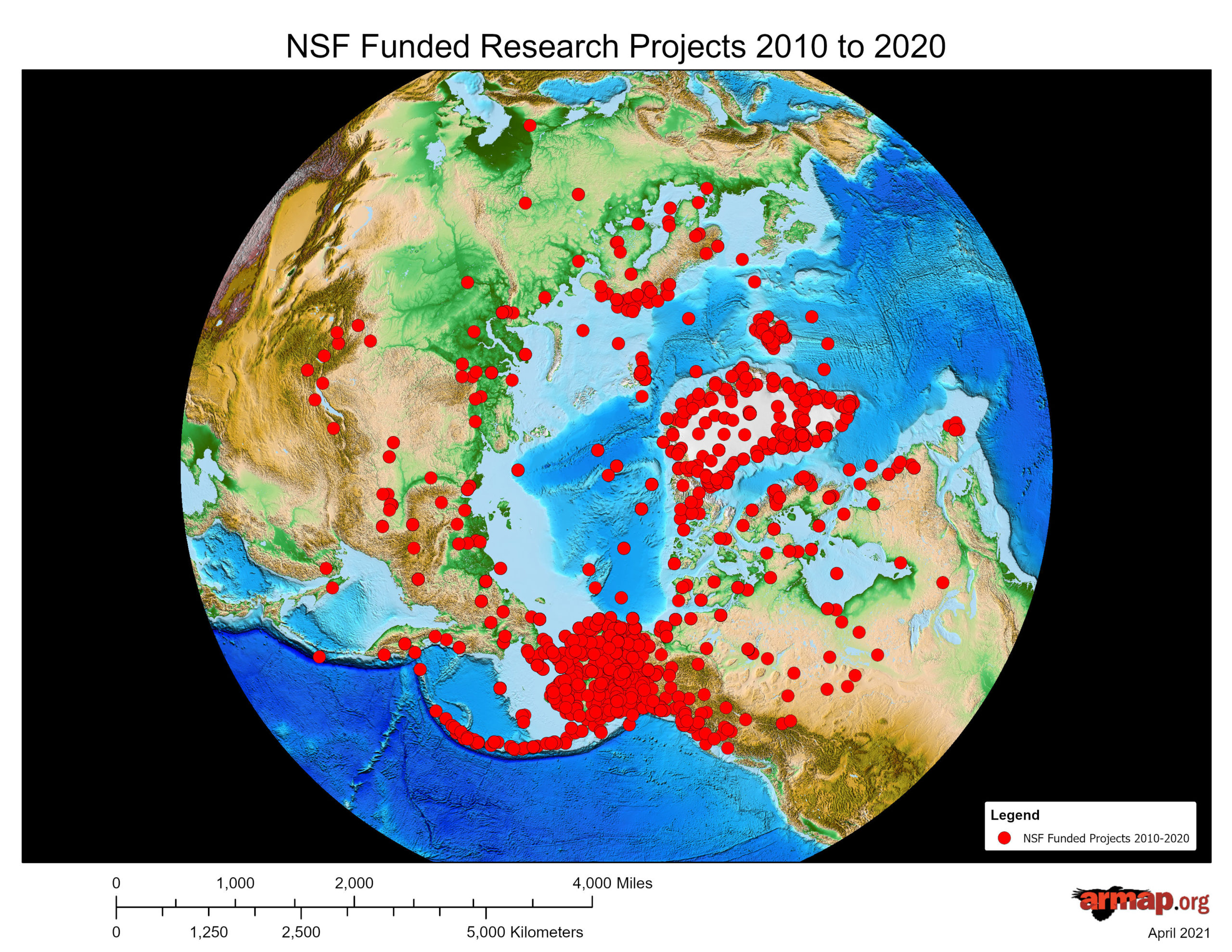
NSF-Funded Projects for 2010 to 2020
Circumarctic view with a topographic basemap.
-
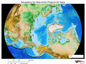
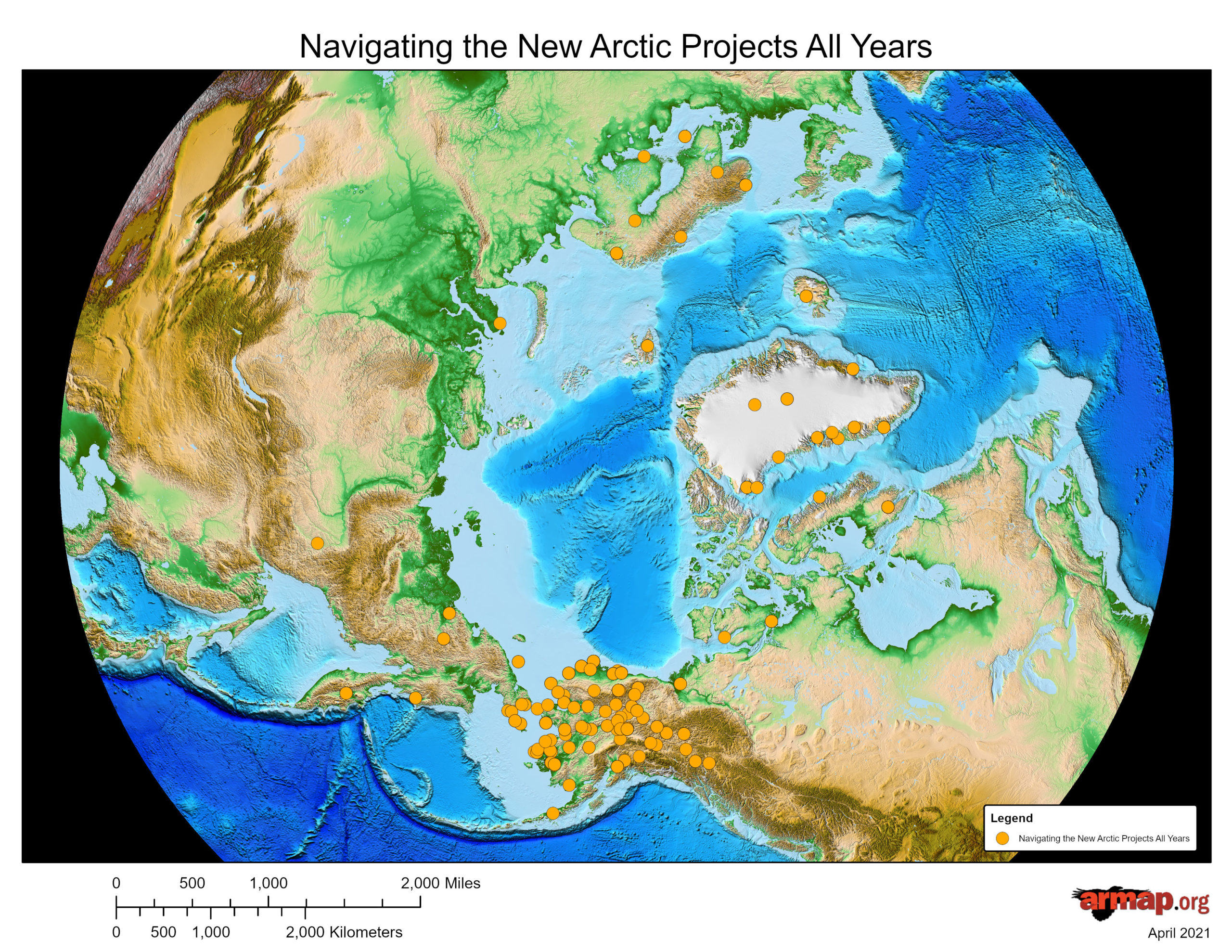
Navigating the New Arctic Projects All Years
Circumarctic view with a topographic basemap.
-
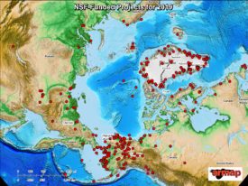
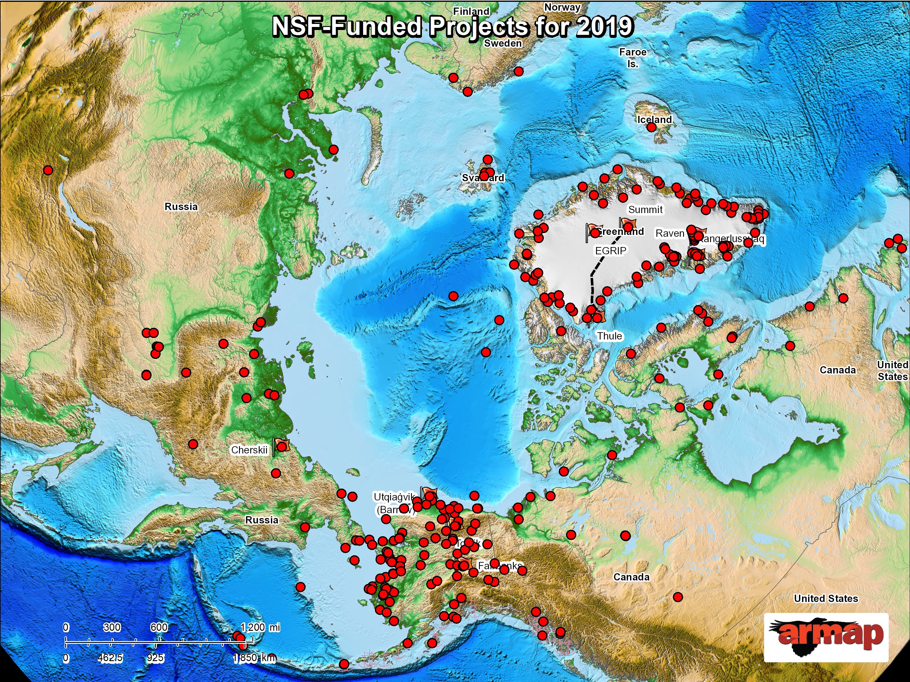
NSF-Funded Projects for 2019
Circumarctic view with a topographic basemap.
-
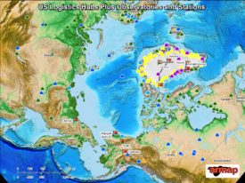
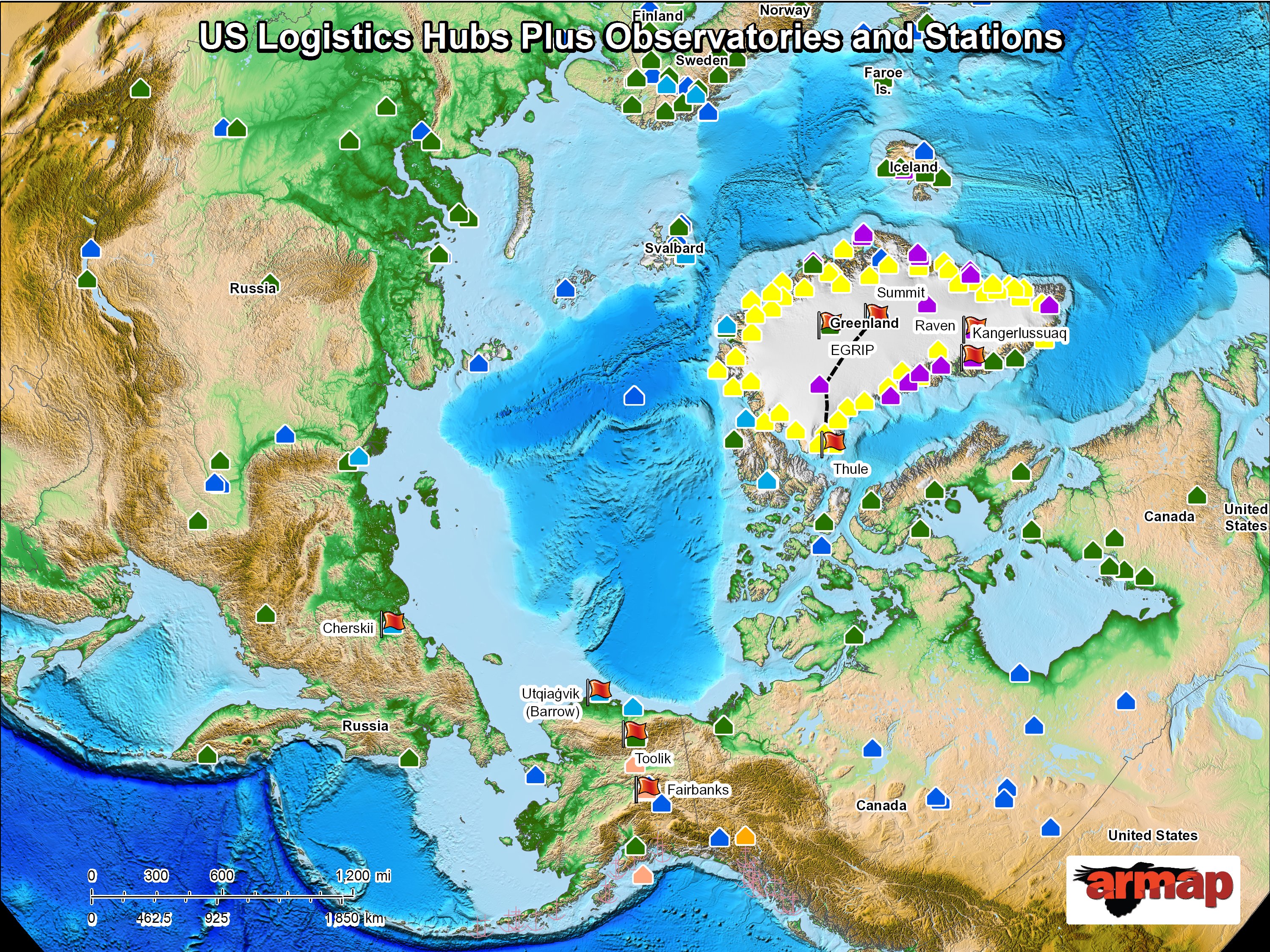
US Logistics Hubs plus Observatories and Stations
Circumarctic view with a topographic basemap.
-
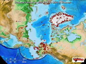
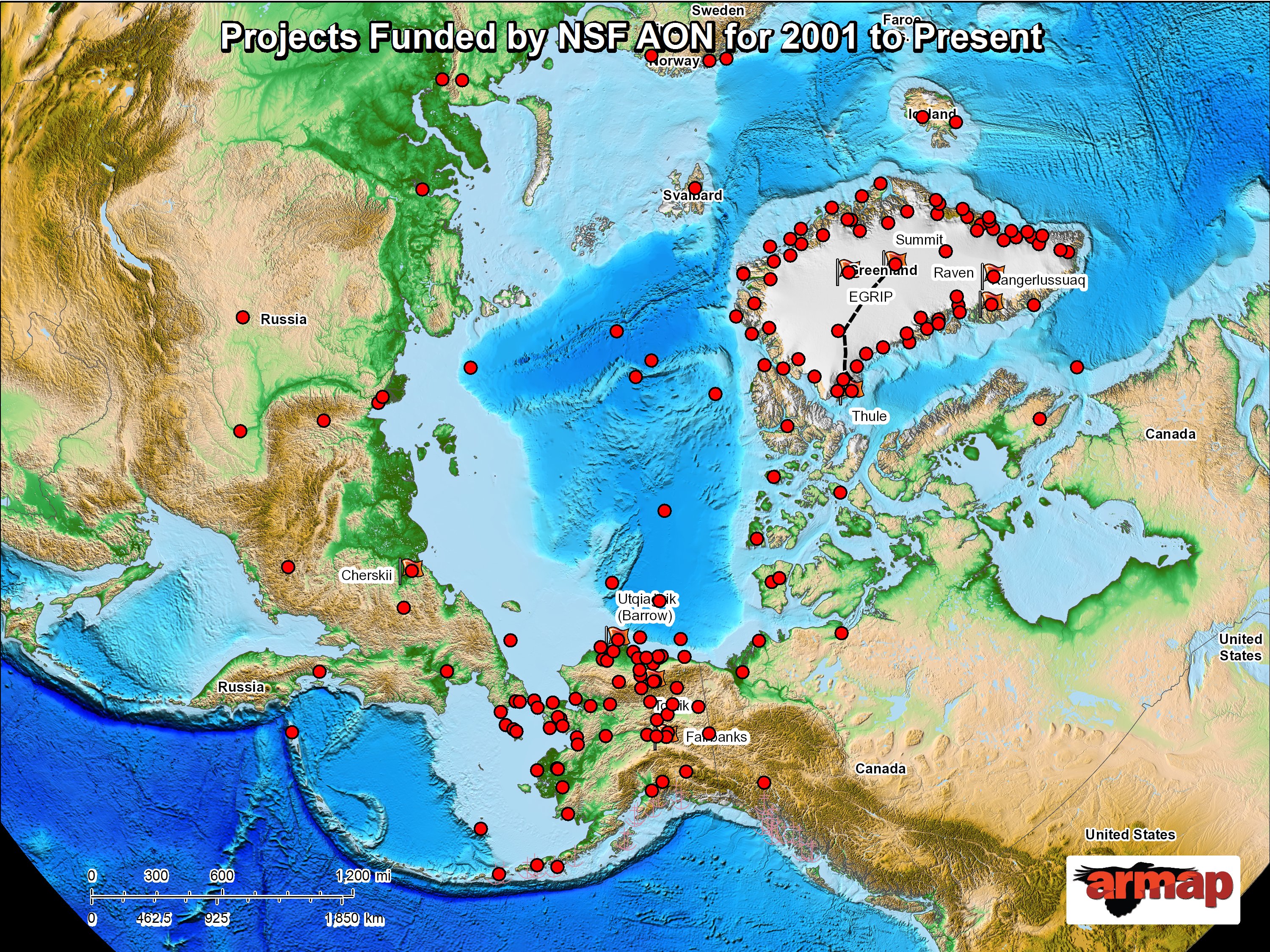
Projects Funded by NSF AON for 2001 to Present
Circumarctic view with a topographic basemap.
Base Maps


Arctic Boundary Maps
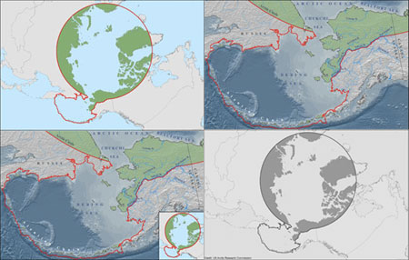
This series of maps was created by ARMAP for the US Arctic Research Commission, and depicts the Arctic boundary as defined by the Arctic Research and Policy Act (ARPA). You can also download the ARPA boundary as a GIS Shapefile with metadata.
Access all the maps at arctic.gov/maps.html
-
Projects Funded by NSF AON for 2001 to Present
Circumarctic view with a topographic basemap.
-
US Logistics Hubs plus Observatories and Stations
Circumarctic view with a topographic basemap.
-
NSF-Funded Projects for 2019
Circumarctic view with a topographic basemap.
-
Navigating the New Arctic Projects All Years
Circumarctic view with a topographic basemap.
-

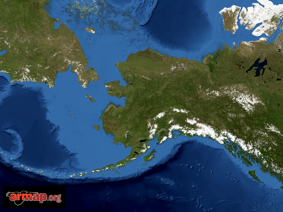
Alaska Base Map with Satellite Imagery
-

Alaska Base Map with Satellite Imagery
-
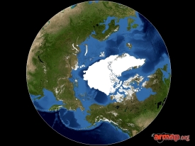
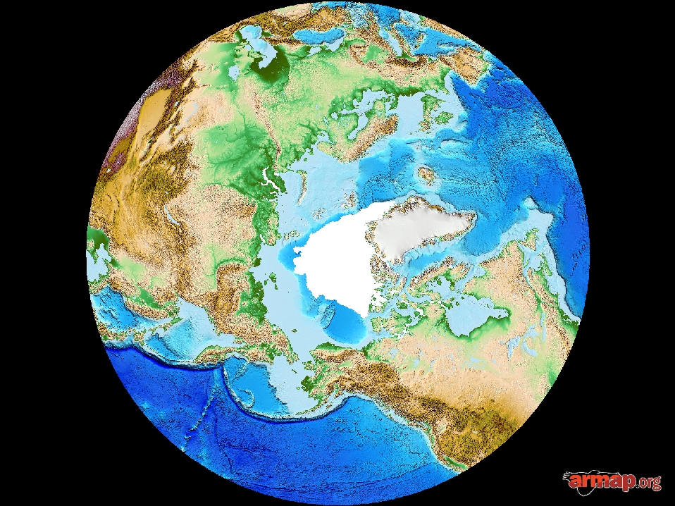
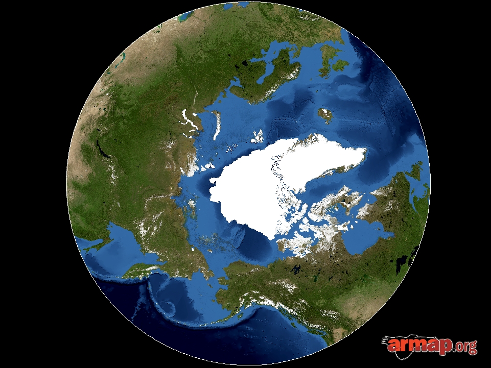
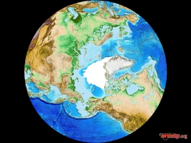
Circumarctic Base Map with Satellite Imagery
-
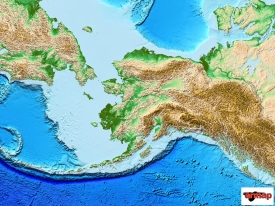
Alaska Base Map
-
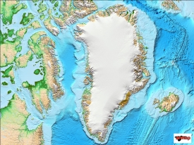
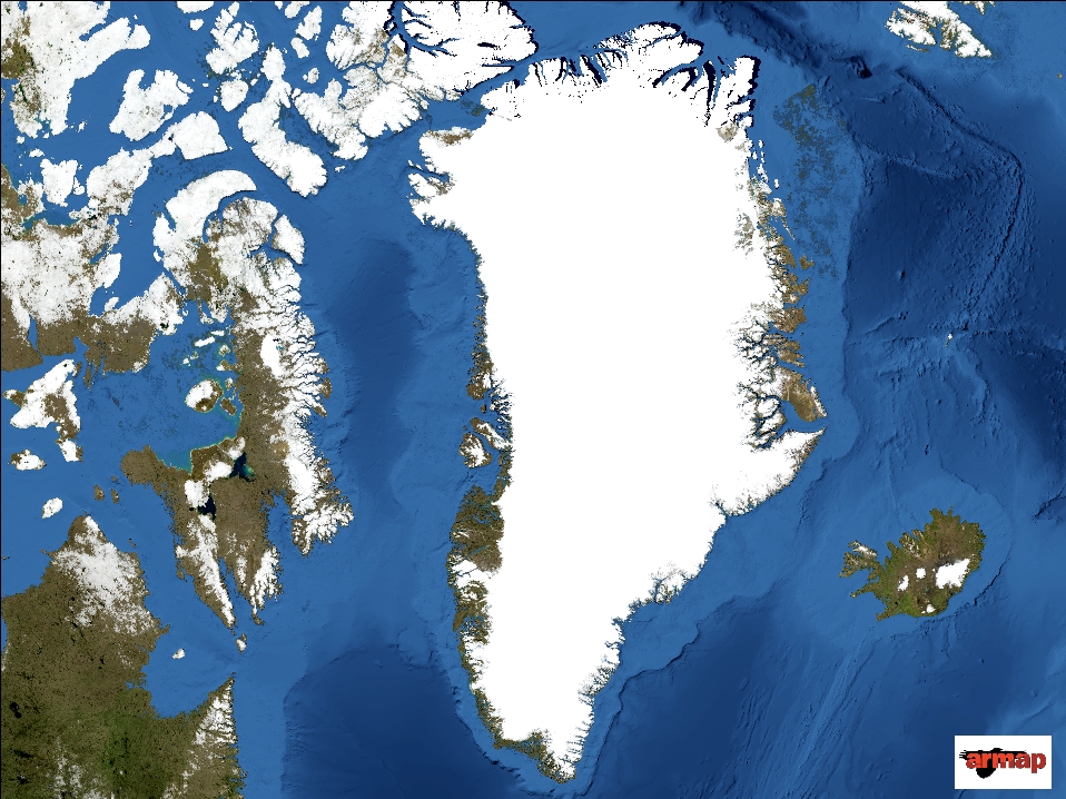
Greenland Base Map
-
Circumarctic Base Map